Category

Environment

Damage Prevention

Damage Prevention

City infrastructure is constantly expanding and becoming more complex. Recent expansion of networks, such as fiber to the home in North America and Europe, is changing the underground landscape. New infrastructure construction can come into conflict with pre- existing infrastructure and poses serious challenges due to underground congestion.

In order to properly build, manage and maintain utility infrastructure, proper damage prevention procedures are necessary to secure and safeguard all those existing and yet to be installed. Without proper utility damage prevention practices in place, the safety and resources of all stakeholders is put at serious risk.

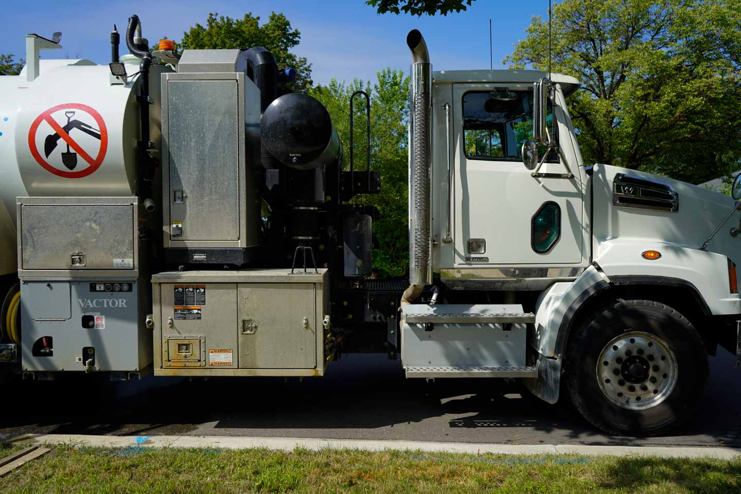
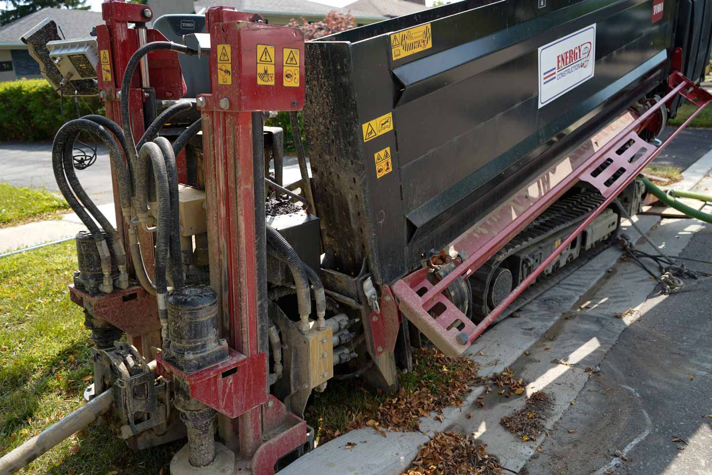
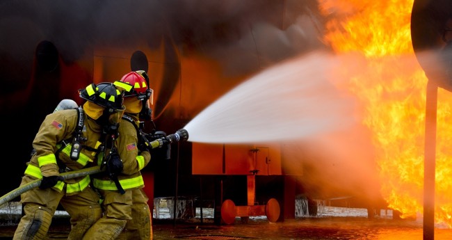
With any type digging or excavation, there is always the possibility of striking a buried utility such as gas, hydro, and electric. A potential utility strike can cause explosions, flooding, electricity leakage, or most importantly loss of life. These situations are extremely expensive to fix and cause vital service disruptions that can negatively affect all aspects of proper city operation.

 The best way to prevent damage is to have in place a cumulative set of legal processes, proper utility & engineering regulations, and municipal bylaws, that define how utilities are to be installed and maintained, how excavators will abide to protect installed utilities, and how public safety and environment will be protected.

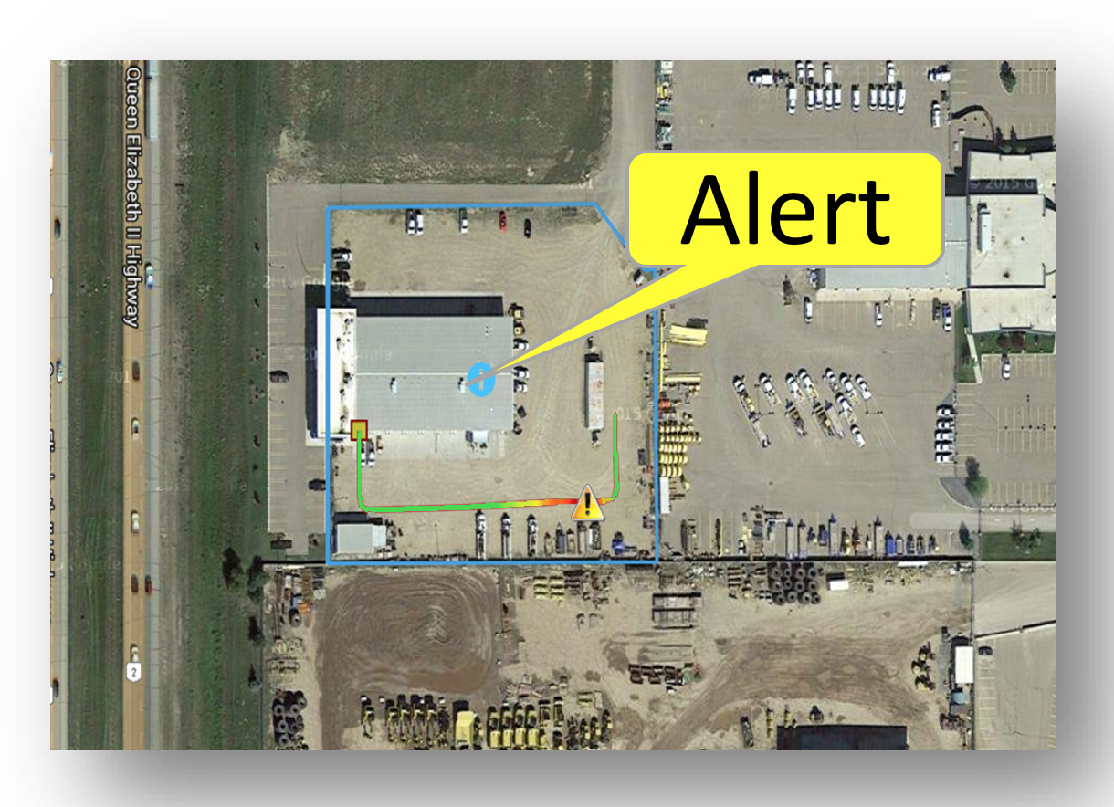
In North America, regulations and damage prevention initiatives have been implemented which define how data is collected, integrated and managed for proper damage prevention.

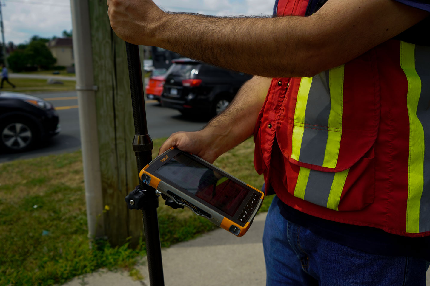
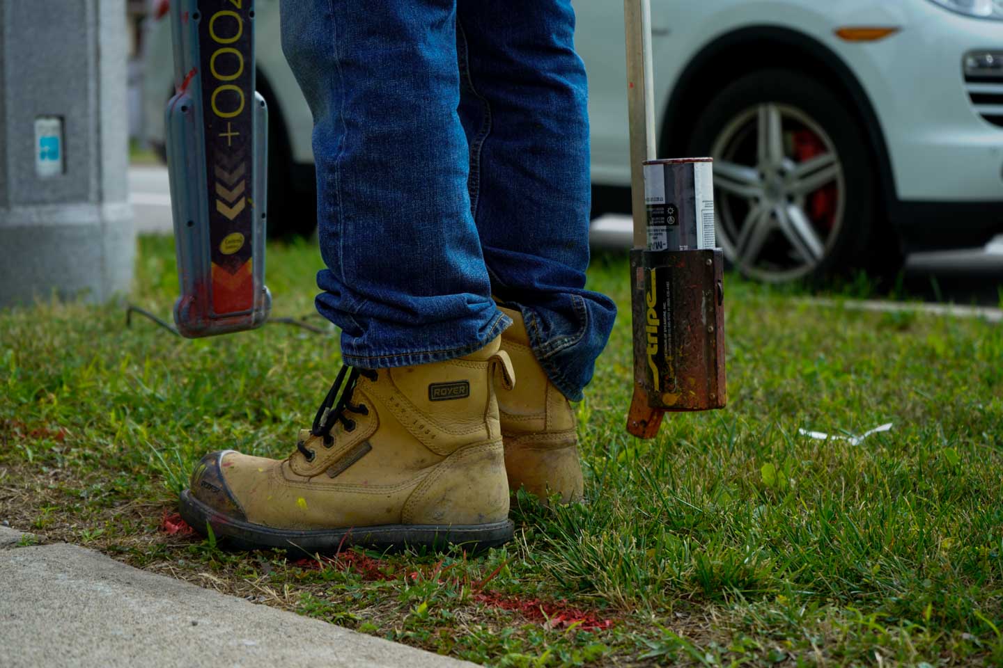
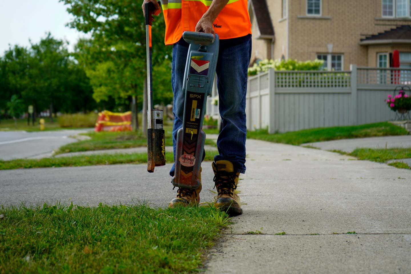
A tried and tested model to ensure limited damage to utilities includes: Using experience locating service providers, and using One-Call center fully enriched with digital maps.

By adapting a proper safety model, infrastructure can be constructed and managed with the highest degree of safety for the years to come.

Pre-Engineering & Permitting

Pre-Engineering & Permitting

With cities rapidly growing, more and more utilities are being buried underground, creating intricate and complex networks to distribute services or collect waste water.

Consequently, few utility and infrastructure organizations have accurate maps of their distribution networks, making pre-engineering and permitting a daunting task. This lack of digital map integration and route validation results in huge inefficiency, disruption and risk, creating additional costs and delays for stakeholders.

To alleviate these issues, proper digital mapping and pre-engineering processes must be implemented. The primary reason to conduct mapping, pre-engineering, and route validation is to detect and identify the precise location and depth of underground utilities, provide electronic drawings with GPS georeferencing, collect underground utility info & surface base map information, and finally, integrate all data into GIS for access and management capabilities to relate all surface and subsurface elements together.

However, to ensure that all maps and pre-engineering models are accurate, other techniques and technologies used to collect geospatial data must be completed in unison. These technologies and processes include utility locating, hydrovac daylighting, GPS surveying, ground penetrative radar, electronic field drawing, and the use of a portable data collector.

Once all steps have been completed, the final outcome of the mapping and pre-engineering process is a sophisticated, real-time 3D visual representation of underground utility assets. These electronic drawings are perfect for assisting in network design, conflict visualization, excavation and maintenance. This representation is an accurate representation of a validated proposed path for new utility installation.

 Upon creation of the clear route, the results are transferred into an electronic permitting system that enables municipalities to access, evaluate the data and propose modifications on an electronic model, thus expediting the once tedious permitting process of utility construction & installation.

Utility Locating

Utility Locating

Digging & excavation for construction, installation, and maintenance nowadays is no longer an ordinary task, especially in developed cities. It requires high-level accuracy and care because utility pipes and cables may be lying underneath the ground. If you are engaged in a project that involves digging, the best way to avoid damaging buried utilities is to reach out to a reliable utility locating company. This service is required by law in North America when we have to do any type of excavation for the purpose of construction, installation of new utilities or excavating for repairs, and maintenance of existing utilities. Locating is an integral part of subsurface utility engineering and permitting.

Utility locating is a practice in which an individual or team of trained locating technicians utilize a variety of equipment and tools in order to pin point the location of underground utilities before excavation. The ability to identify buried utilities prevents digging accidents and promotes safer excavation. Proper damage prevention processes and underground utility locating has reduced incidents of damaged utilities to less than 5 damages per 1000 excavations.

The most common method of locating utilities, is through the use of Electromagnetic currents. Locating equipment that generates electromagnetic radio frequency, allows the receiver to detect utilities that contain conductive materials. This is a reliable method for locating underground electric, cable, telephone, water, sewer and propane lines. Once a utility is found, it is then marked with paint so that excavators know that a utility is buried in that exact location.

Before locating, it is important that all geospatial data and maps have been integrated into an accessible digital format. This makes locating easier to manage and more efficient for technicians.

While some utilities can be found easily, some can remain hidden due to a variety of circumstances such as induced signals and unclear depths. These types of buried utilities require a very high level of experience to locate with other methods being used to uncover their precise location. On a daily basis, tens of thousands of locates are taking place which require properly trained administrative and management personnel, along with sophisticated software systems.

Hydrovac Daylighting

Hydrovac Daylighting

In today’s climate of awareness and environmental consciousness, Hydrovac daylighting is quickly becoming the excavation method of choice in the utility industry.

Hydrovac Daylighting is the process of removing soil by combining both pressurized water and an air vacuum hose. The pressurized water is used to cut through the ground and break up the soil. The vacuum then lifts the slurry from the excavation area and stores it in a debris tank.

Hydrovac excavation is used primarily for utility daylighting which is the process of unearthing and exposing underground utilities to the light of day.  It is also commonly used for shallow trenching for utility installation and pole placement.

Hydrovac daylighting is the preferred method for excavation in congested areas, such as high traffic roads- it is high speed and facilitates repairs in a variety of areas while providing minimal destruction and interruption.

Hydrovacing reduces the likelihood of puncture damage to utilities, eliminating the possibility of service interruptions and reducing the need for repairs. The primary benefit of hydro excavation is that it provides for better damage and safety control when compared to other mechanical solutions. Combining these factors, hydrovacing is the perfect choice to get projects finished quickly all while limiting the likelihood of accidents.

Before hydrovacing can begin it is important that the excavation area has been properly located and mapped with all geospatial data being integrated into an accessible digital format.

Hydrovac daylighting provides a perfectly non-destructive way to excavate and locate the depth of underground utilities. It is currently the most preferred method of digging because of its low risk and precise accuracy.

Horizontal Directional Drilling

Horizontal Directional Drilling

Horizontal Directional Drilling is a process of installing conduits under obstacles such as roads, buildings, and wetlands without damaging existing municipal infrastructure and without interrupting traffic.

 There are many types of conduits that can be installed, these include fiber, electric and gas.

 Drilling commences by pushing and rotating a pipe connected to a drill bit along a predetermined path. Water is pumped to the drill head to help with the removal of drill cuttings and to also assist with drill cooling and lubrication.

On the surface, a locator gathers radio signals sent by the drill bit who then determines the exact location and depth of the drill and provides steering recommendations to the drill operator. This process is extremely difficult and usually only to be completed by true professionals.

Once the drill has successfully surfaced at the end of the drilling path, the conduit is attached to the drill head and pulled through the drill path in reverse, allowing it to be installed.

Prior to drilling, it is essential that the area has been properly located to identify any points of conflict for the proposed drill path. It is also important that utility hydrovac daylighting is done to non-destructively uncover these conflict points. If proper preparation is not carried out, enormous amounts of costly damage can occur in the event that the drill hits existing utilities. This is one of the biggest risks during the drilling process.

 Directional drilling can be extremely expensive if equipment is damaged by inexperienced staff and hard soils or rocks. Considering that pre-existing utilities may be installed underground, such as electric and gas, this process can be extremely risky without proper digital maps, accurate locating, and hydrovac daylighting.

Infrastructure Construction

Infrastructure Construction

Infrastructure is all around us and ever present in our lives. It is expanding at a rapid rate and becoming increasingly congested and complex. It is a sector that has largely been inflexible, which has resulted in serious cost and safety risks to the public. Most of the world is far behind North America in standards and technology that ensures safety and efficiency surrounding infrastructure, especially below the surface.

 If we are to move forward efficiently, we must consider implementing practices and technologies that help us cultivate a culture of damage prevention. This includes proper digital maps and digital infrastructure asset management. Without proper digitization, modern infrastructure technologies and processes that are standard in North America, such as hydrovac daylighting and horizontal directional drilling, are extremely difficult to implement.

INTUS Smartcities has developed services and technologies to ensure that damage and inefficiency are a thing of the past, and that new construction is carried out expeditiously and safely. Through the INTUS Smartcities 360 degree model, utility locating, mapping and pre-engineering are carried out to ensure that all geospatial and utility data is updated and accessible.

From there, INTUS Smartcities offers construction capabilities such as hydrovacing and Horizontal directional drilling, to ensure that the construction and installation of utilities is done effortlessly. INTUS Smartcities guides and assists municipalities outside of North America in reaching the highest standards of infrastructure management.

From inception and design, to construction and maintenance, INTUS Smartcities does its best to leverage experience and technologies to provide stakeholders with comprehensive smart solutions.

By gathering, analyzing and sharing new forms of data, we can improve and adapt decision making in real time. By implementing a set of practices and new technologies we can drive up efficiency and realize new opportunities. And by building new data management systems and more flexible assets, we can improve collaboration and responsiveness for all.

For all types of underground utility installation, Horizontal Directional Drilling is the most common method for drilling in a way which ensures that the environment and existing infrastructure is not damaged or interrupted.

Cyprus GasTech Exhibition 2018

“Pipeline Intelligence Through Digital Transformation”

Date: October 16-18, 2018
Location: Limassol, Cyprus
Presented by INTUS and INTUS Smartcities’ CEO Dimitris Agouridis and Dr. Muid Mufti, head of INTUS’s R&D


On October 16-18 2018, INTUS and INTUS Smartcities’ CEO Dimitris Agouridis, presented with Dr. Muid Mufti, head of INTUS’s R&D at the CYP Gas Tech 2018 event. The event was hosted in Limassol, Cyprus under the auspices of Ministry of Energy of Cyprus.

The two presented and reported the INTUS progress on the design and implementation of a ‘Pipeline Integrity System’ for improved monitoring and safety for gas transmission and gas distribution networks in both rural and urban environments. Agouridis emphasized how these installations are crucial assets for energy sustainability and economic development. It was stated that INTUS has engineered an effective digital pipeline system design called “BOSS” and brought it to life through a series of multifaceted technological advances. This system integrates a full cycle construction system and asset management system, as well as other INTUS advanced proprietary technologies such as 3D mapping and augmented reality.


It is INTUS’s mission “To ensure that all energy, communications, and vital services infrastructure is planned, built, maintained, accurately identified and efficiently managed in the safest and most cost-effective way possible!”

The location of this event, Limassol, is the second largest city of Cyprus, with the largest port, which is a major container transhipment centre in the Eastern Mediterranean, as well as a main stopover point for international cruises lines. The Limassol port handles more of two thirds of the total Cyprus imports/exports and is going to play a major role in the new energy era of Cyprus. Cyprus along with Greece, Israel, and Egypt are the main participants on the new gas pipeline network planned to provide Europe with secured gas alternatives supplies in the near future.

Learn more about the conference here.


“Phosphorus” Infrastructure Management System

“An integrated turn-key solution including: multi-use geospatial sensor management system, integration of remote sensors into a GIS based platform, and wide usability.”

“Phosphorus”, a sophisticated urban utility network management & monitoring system, provides real-time performance monitoring of various municipal assets/networks. Through GIS-based multi-sensor connectivity, this system has wide usability. Using GIS data, maps, and ‘as-builts’ collected through the different INTUS Smartcities’ services, functional elements of “Phosphorus” can be enabled, such as alert triggers and incident highlighting on GIS for emergencies.

Usability with:

  • Municipal Infrastructure (Street Lights, Sewer, Traffic Lights, Water etc.)
  • Utilities Network Infrastructure (Water, gas, Electricity etc.)
  • Oil and Gas (Pipeline Leak Detection)
  • Mining
  • Forestry
  • Road and Communication