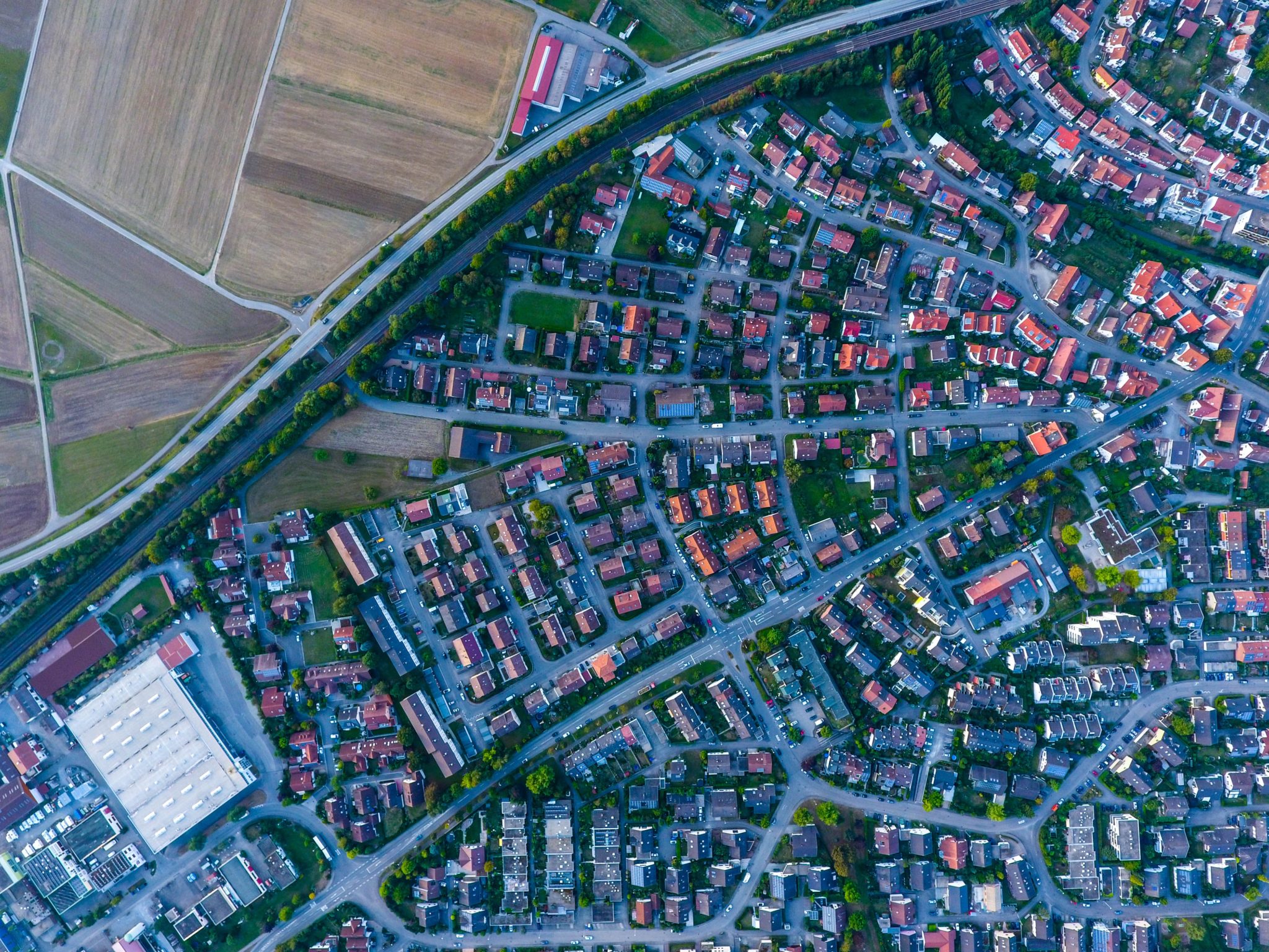
“ESDN (Electronic Spatial Data Network) is a multi-layer GIS engine, capable of supporting geo spatial data in both vector and raster form. ESDN is a fully functional Asset Management System.”
Each asset can be associated with multiple schemas of metadata including both instantaneous and historical data. A variety of additional documents like images, PDF files, and other binary files can be attached to an asset. This is available instantly on the web interface or though the machine to machine (M2M) interface. ESDN has a diverse date importing and exporting options like ESRI shape files, DXF, KML and ASCII data, etc. Online, ESDN has an accompanying desktop version for ease manipulating spatial data.
ESDN can accommodate the integration of all geo-referenced urban assets that hold value for the Town into a single GIS system, by linking all infrastructure components that share a common location within an identified multi-layer base-map. The integrated Urban Asset Management system incorporates any existing information that can be used to support effective financial planning, preventative maintenance and risk management programs currently in place.
Good asset management can maximize the benefits provided by infrastructure as it deals with the long-term perspective. It also gives the Town the opportunity to achieve cost savings by identifying decline early on so action can be taken to rehabilitate or renew the asset, or related assets found within the infrastructure corridor.

