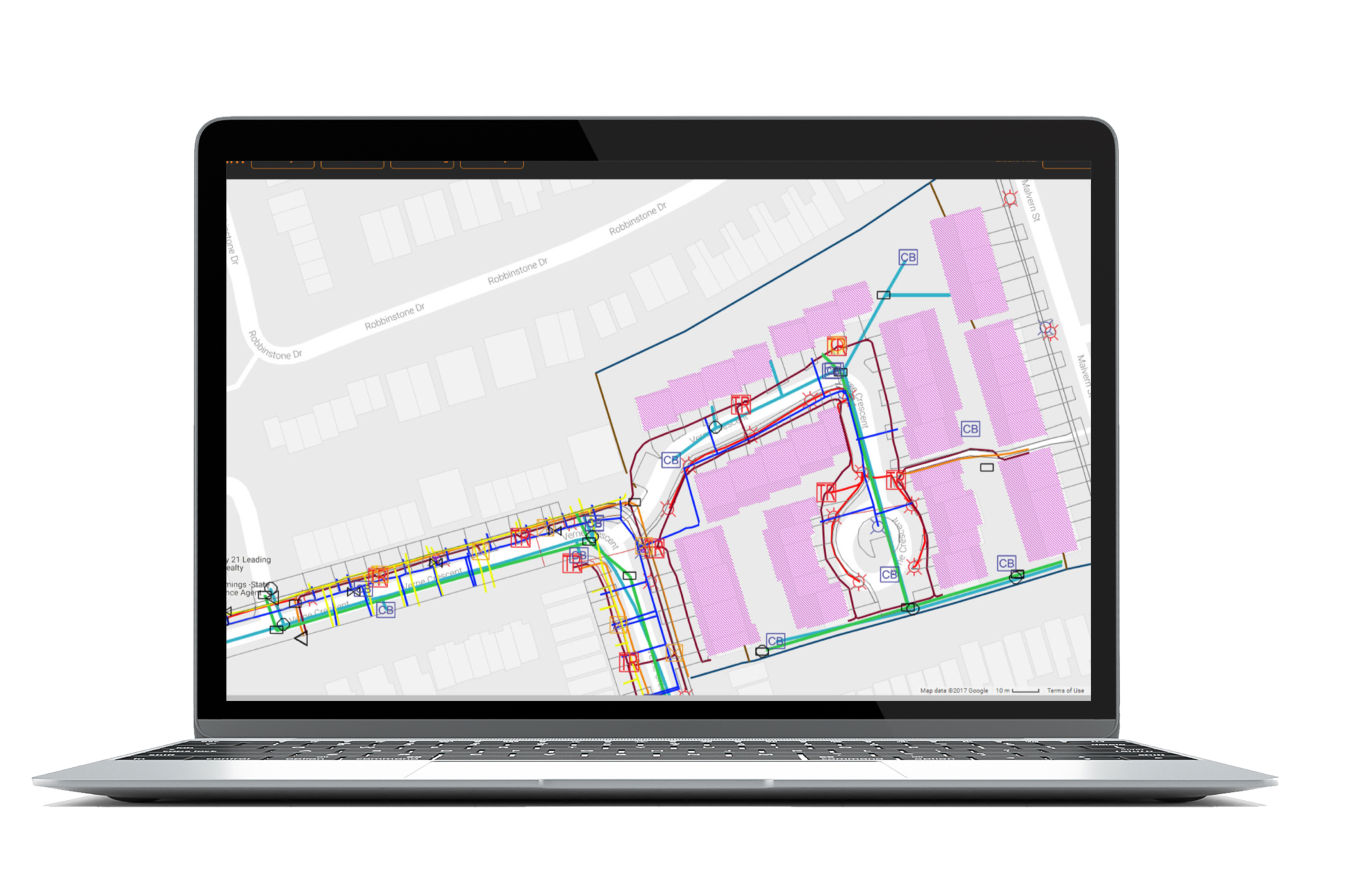
Using geographic information is vital to understanding how a city operates. As of now, GIS is used to help cities around the world make better decisions in regards to maintenance and planning. However, many municipalities have either not digitally integrated their existing maps and/or not fully taking advantage of what GIS has to offer. With a lack of digital integration, municipalities are left with old or obsolete legacy data that can be difficult to access, provides little to no insight on how to maintain assets and plan for the future, and can actually cause serious safety concerns for communities. With the help of INTUS Smartcities, municipalities can get back on track and make use of these old data investments to better understand the geography of the communities serve. By understanding geography and a city’s relationship to location, municipalities are better equipped to make informed decisions about how we plan projects and maintain infrastructure within each community.
“Municipalities need a way to integrate data so that it can be analyzed as a whole and leveraged to make critical infrastructure decisions..”
What is GIS?
A geographic information system (GIS) integrates data for capturing, managing, analyzing, and displaying all forms of geographically referenced information. GIS allows users to visualize data in many ways that reveal relationships, patterns, and trends. These relationships help organizations like municipalities answer questions and solve problems in regards to planning and maintaining infrastructure.

Why GIS Integration?
All municipalities have new and legacy data stored in a variety of formats in many locations. Municipalities need a way to integrate data so that it can be analyzed as a whole and leveraged to make critical infrastructure decisions. Not only is this important to make decisions, but as asset networks become increasingly complicated, GIS becomes a vital tool to ensure safety for communities. For example, city workers could unknowingly cut an electrical line thus causing fires and power outages. Because municipalities have neglected digital integration, assets, projects and communities are at serious risk. However, thanks to its versatility, GIS can help municipalities avoid these issues. By using its spatial component, GIS can highlight locations of infrastructure damage while also providing location services and route optimizations for field crews and Emergency responders. This saves tremendous time and money when it comes to infrastructure maintenance.
The INTUS Smartcities & GDIC Advantage
INTUS Smartcities & GDIC has the ability to preserve old data investments by integrating them into our proprietary GIS system. By utilizing our data translators, we are able to provide an array of legacy data migration and data conversion services, including data interoperability. Whether it is a paper map or an old CAD drawing, we will convert it into a digital format with quick turn-around. Our translators are designed to preserve accuracy, precision and attribution throughout the conversion process.
Benefits of GIS Integration
Other than full digital representation, there are many benefits to choosing INTUS Smartcities for data/GIS integration
Whatever your integration needs are, GDIC will ensure a smooth translation process, making sure each piece of data is handled with the utmost care and security. Thanks to our years of experience and cutting-edge software, we are able to complete data translations in a fraction of the time it takes our competitors. All data is then made accessible in an easy to format that has cross platform compatibility. At INTUS Smartcities, we believe that data integration into Web-GIS is the first, and perhaps the most important, step in empowering city planners to make smarter decisions for the years to come.

