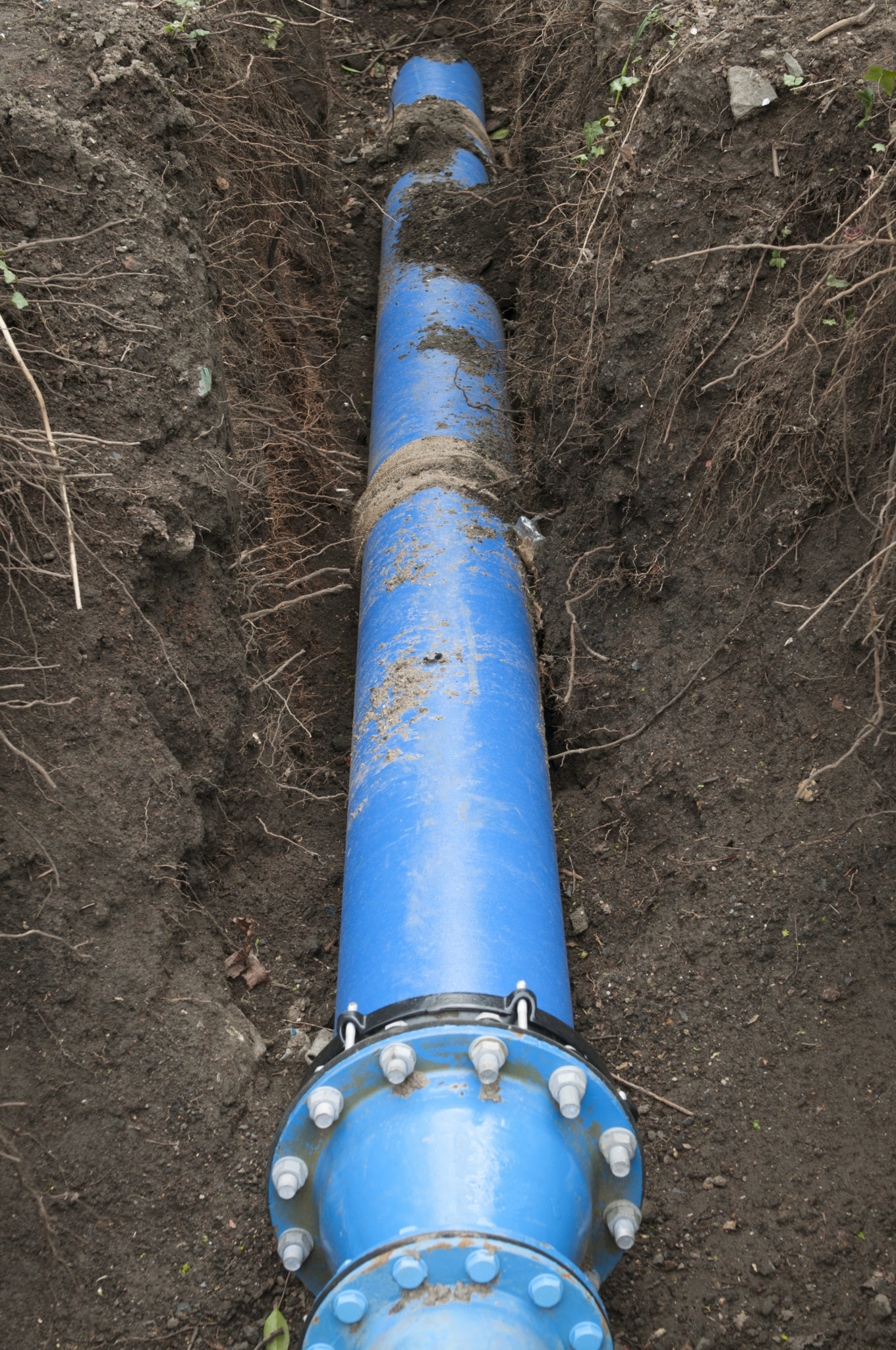
Infrastructure Engineering, or Infra-Eng (Patent Pending), is a term we have coined for our expedited process of subsurface utility engineering. Subsurface utility engineering is the collection of data in the form of ‘drawings’ to represent what is located subsurface in an area, and is necessary to submit in order to acquire permits from a municipality (typically for utility installations). Normally, subsurface utility engineering focuses on gathering the data of four separate components- utility locating, mapping, surveying, and hydrovacing. Each of these components requires its own separate crew and then, data is passed along to an engineer before it can be submitted for a permit.
The data and ‘drawings’ required for a permit need to be updated from the original drawing (which is called an ‘as- planned’) every time something in the area is changed, or certain environmental elements/vital infrastructure are found . Each change to the original ‘as-planned’ is called an ‘as-built’. As can be imagined, this entire process is costly and timely. The typical time it takes to receive a permit with this current process is roughly a year.
Infra-Eng (Patent Pending) is INTUS Smartcities’ solution to the long and inefficient process of subsurface utility locating and acquisition of permits. With our know-how and crews, we can complete the entire process of subsurface utility engineering in one pass, as we bring the engineering directly to the field, integrating city maps as locating, mapping, surveying, and hydrovacing are completed (instead of passing the data along to an engineer). We then integrate all the ‘as-built’ data for compatibility in GIS (geographical information systems). The result is a user- friendly, permit-ready deliverable, that is quickly generated online via GIS. Our method of Infra-Eng subsurface utility locating and permit-generation takes a mere two months versus the industry standard of one entire year.