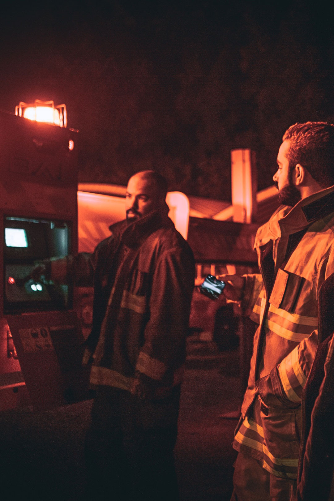
Through the use of augmented reality (AR) for infrastructure management, emergency response can be quickly revolutionized. For example, by mapping out what is behind each wall in a building, this data can be integrated into applications for a number of uses- one being emergency response. Imagine the scenario of a high-rise office building that is on fire. With our technology, a firefighter can now use an application featuring AR to quickly learn the blueprint of the building, which walls are safe to break down without hitting non plain-sight circuits (gas, water, power, etc.), and ultimately, make life-saving decisions.
On a larger scale, this AR technology can be used during natural disasters and terrorist attacks, as the INTUS Smartcities Emergency Response system is based on a cluster of local/state response centres operating as a network with shared data. Through GPS mapping of all vital infrastructure in a region (such as underground and surface utility installations) and then integration of this data into web-enabled, wireless accessible, and dynamically modifiable real-time systems, multi-layered maps can be created and take emergency response capabilities to a new level.